AutoCAD Civil 3D
AutoCAD Civil 3D - Syllabus
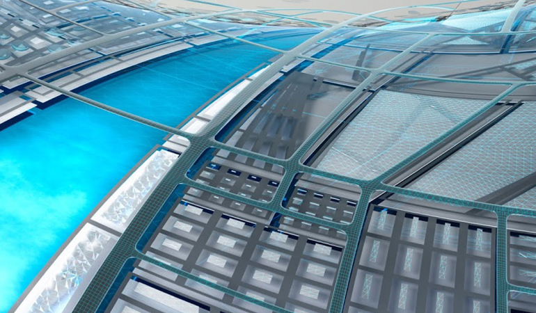
Course description
Session 1
• Introduction
* Land Survey
* Land Development
* Transportation Design
* AutoCAD Civil 3D
• Working Environment
* Work Space
* Tool Space
* Object
* Object Style
* Label Style
* Creating Template
* Creating Reports
Session 2
• Working with Point Data
* Creating and Editing Points
- Miscellaneous
- Intersection
Session 3
• Working with Point Data
* Creating and Editing Points
- Slope
- Interpolate
- Point Styles
- Point Group
• Import/Export Points
Session 4
• Surface
* How to create a surface based on Points
* Modifying Surface
* Surface Styles
* Surface Label Styles
• Create Points from Surface
Session 5
• Survey: Total Station
* Creating Survey Database
* Creating Survey Network
* Creating Figure Styles and Prefix
* Importing Field Book
* Working with Survey Data
* Creating Surface
Session 6
• LiDAR Survey
* Introduction t* LiDAR
* How t* Import LiDAR Survey Data
* Creating Surface
• Working with DEM files
Session 7
• Surface Analysis
* Direction
* Elevation
* Slope
* Slope Arrow
* Water Shed
* Water Drop
* Catchment Area
• Legend Table
Session 8
• Earthwork Calculation
* Create surface by
- Breaklines
- Contours
- Drawing Objects
* Alignment Creation
* Horizontal Profile View generation
* Customising Profile Views
* Create a Volume Surface
* Volume Calculation
Session 9
• Grading
• Xref
* Combining Surface from multiple files
- Global Coordinates
Session 10
• Parcel
* Site
* Creating Parcels
- From Object
- By Layout
* Creating Right Of Way
* Editing Parcels
* Labelling Parcels
* Creating Tables
Session 11
• Project: Land Development
Session 12
• Alignment Design as per IRC
* Design Criteria Editor
* Alignment from Polyline
- Alignment Style
- Alignment Label Style
- Design Criteria
- Design Check Set
* Alignment by Layout
* Edit Alignment Geometry
* Tables
* Best Fit Alignment
* Create Offset Alignment
* Create Widening
Session 13
• Profile Design as per IRC
* Profile by Layout
* Multiple Profile Views
* Super Imposed Profile
* Edit Profile Geometry
* Design Criteria Editor
* Profile View Labels
Session 14
• Assembly
* Create Assembly from Library
* Create Sub-assembly from polyline
* Assembly Offset
Session 15
• Corridor and Corridor Surface
* Create Corridor
* View/Edit Corridor Sections
* Super Elevation
* Corridor Surface
* Corridor Surface Boundaries
Session 16
• Junction Design
* Manual Junction Design (based on versions before 2010)
* Automatic Junction Design
- Customise the Assemblies
- Corridor Surface
Session 17
• Roundabout Design
* Add Approach
* Add Turn Slip Land
* Create Corridors
* Corridor Surface
• Grading
* Feature Lines
* Grading Surface
* Label
Session 18
• Quantity Takeoff
* Sample Lines
* Section Views
* Compute Materials
- Earthwork
- Material Quantity Takeoff
- Creating New Criteria
Session 19
• Pipe Network
* Parts List
* Pipe Network by Layout
* Pipe Network from Object
* Edit Pipe Network
* Draw Parts in Profile View
* Create and Apply Rules
* Pipe Network Labels
* Pipe Network Tables
Session 20
• Project: Transportation Design